
Hazards In Utah
THE POINT
Knowledge of which hazards/disasters can happen near you will help you in your preparation plans. Know the protective actions for each hazard. Each hazard brings unique challenges that are important to consider. Plan for the disruptions the disaster causes and you will be better prepared to handle any disaster. The 3 different types of disasters are: Natural Disasters, Technological failures, and human caused/intentional disasters. Knowledge reduces stress by empowering you with what you can do about the situations you may find yourself in.
DO THIS
- Discover natural hazards near you through the various Hazard Maps. Also consider technological and intentional disasters.
- Learn the protective actions for each hazard.
- Plan for the disruptions each disaster causes.
Hazards In Utah
Explore each hazard, know the protective actions for each hazard, and plan for the disruptions each hazard causes.
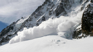
Avalanche

Cyber Threat
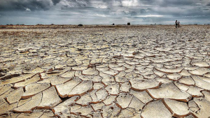
Drought
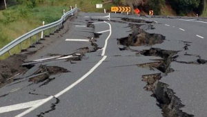
Earthquakes
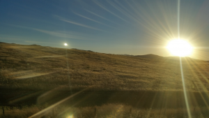
Extreme Heat
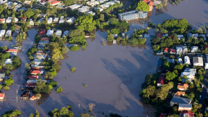
Flood
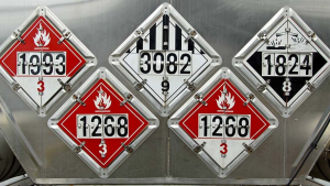
HazMat

Landslides
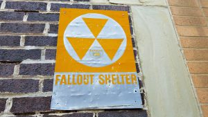
Nuclear/Rad

Pandemic/Biological
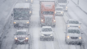
Severe Weather
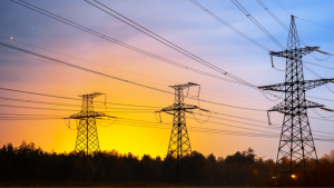
Space Weather
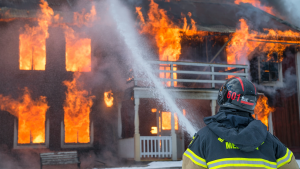
Structure Fire
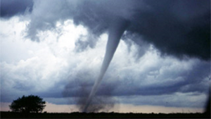
Tornado
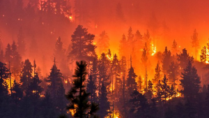
Wildfire
Interactive Hazard Maps
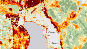
Utah Wildfire Risk Assessment Portal: Interactive map of wildfire risks near you.
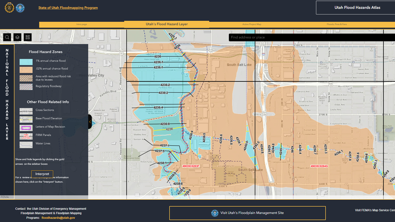
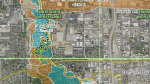
FEMA Flood Hazard Map: Interactive map of flood risks near you. Also find the definition of your flood zone here.
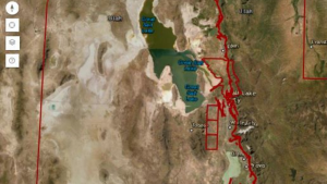
Utah Geologic Hazards Portal: Interactive map of earthquake, liquefaction, landslide, radon, and other risks near you.
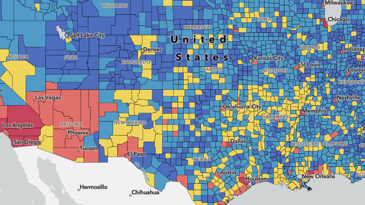
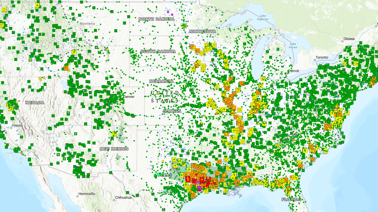
FEMA National Risk Index: Interactive map to understand your risk to natural hazards.
Know Your Protective Actions
This page provides a summary list of protective actions.
Protective Actions
Utah Hazard Mitigation
Utah Hazard Mitigation